
Land Navigation – Evidence Search Exercise
- Dec 2, 2022
- 1 min read
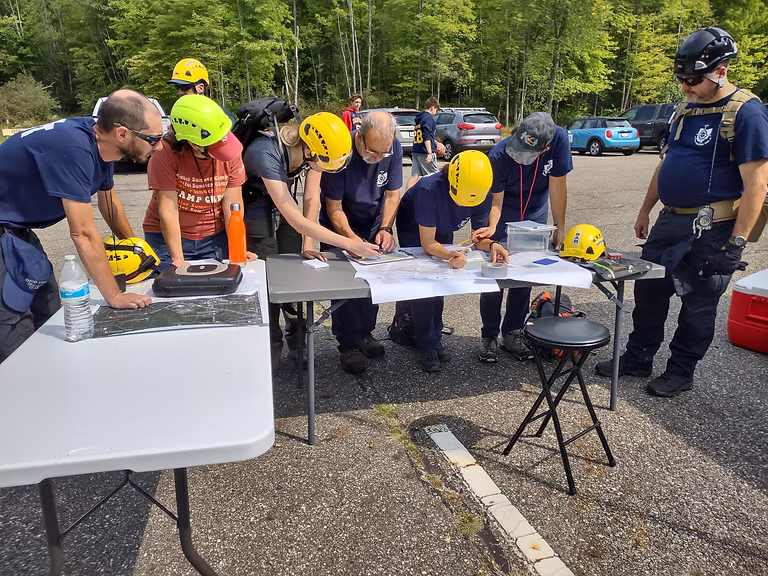
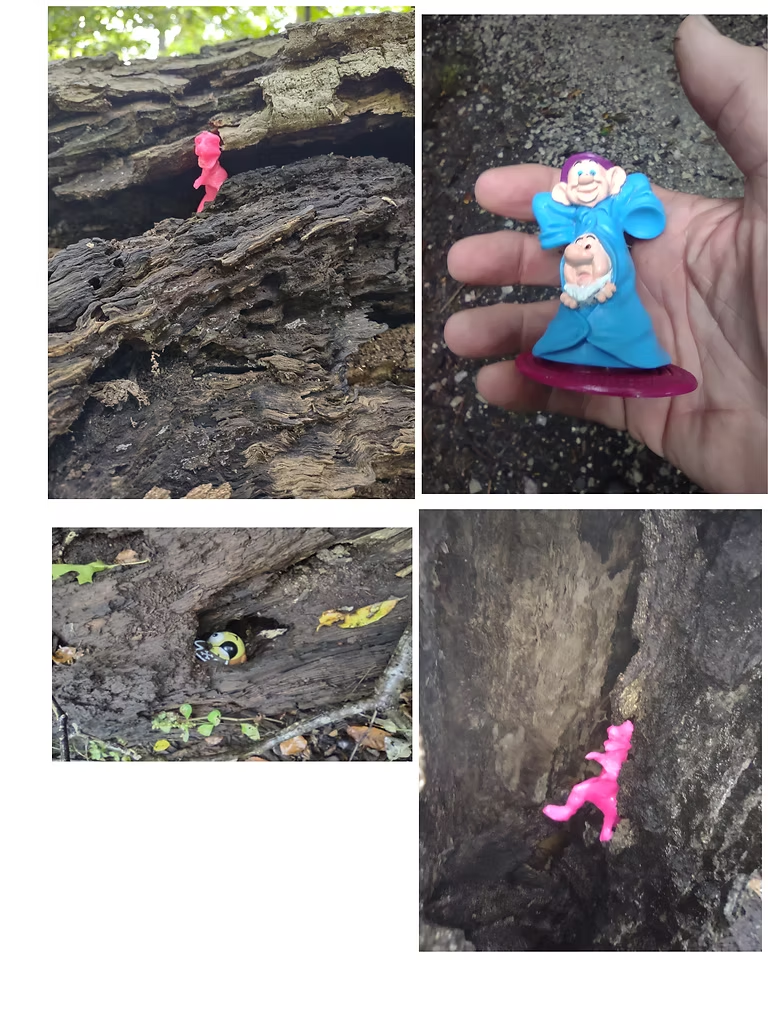
In the accompanying image, members of the Ohio Special Response Team work with detailed topographic maps to outline multiple search objectives. The exercise, conducted at West Branch Reservoir, required the team to locate small objects in heavy woods, simulating the passage of a lost child. The team conducted two exercises. The first worked “old school” with topo maps and compasses. The second utilized GPS units. Each group had to locate their search grid on the map, navigate to the specific grid, then conduct a detailed search for evidence. Many items of evidence were as small as the average house key. All teams located and documented all hidden evidentiary items in their allocated search grids.
The members of the OSRT search team are constantly training to identify clues and track missing people by the evidence of their passage through multiple types of terrain. Locating a single clue, or item of evidence, is frequently the first step in following a series of items – frequently for miles – to the eventual location of the lost party. When the team is working with law enforcement, they mark all clues, without disturbing them, ensuring compliance with crime scene investigations.


Comments